-
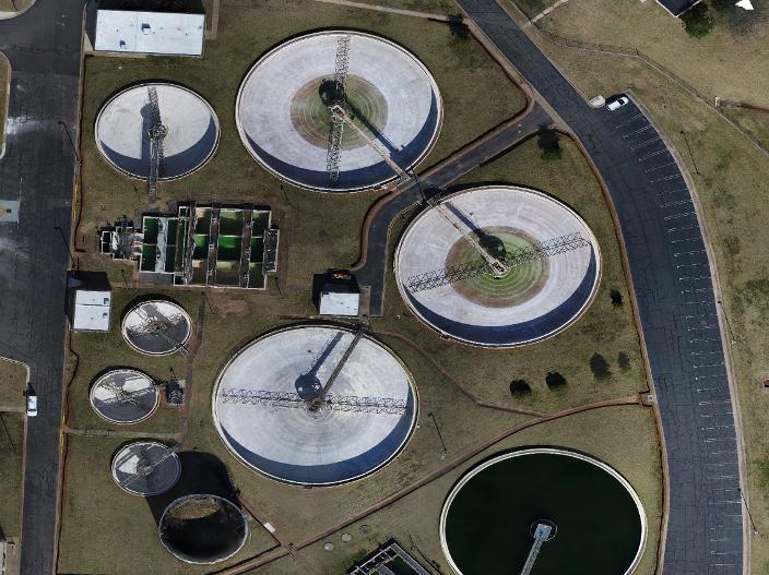
Mapping/Site Inspection
Leveraging the computing power of DroneDeploy we are able to offer a full range photogrammetery and orthomosaic services. We are able to provide site documentation, elevation data, 3D modeling, and even crop health data.
-
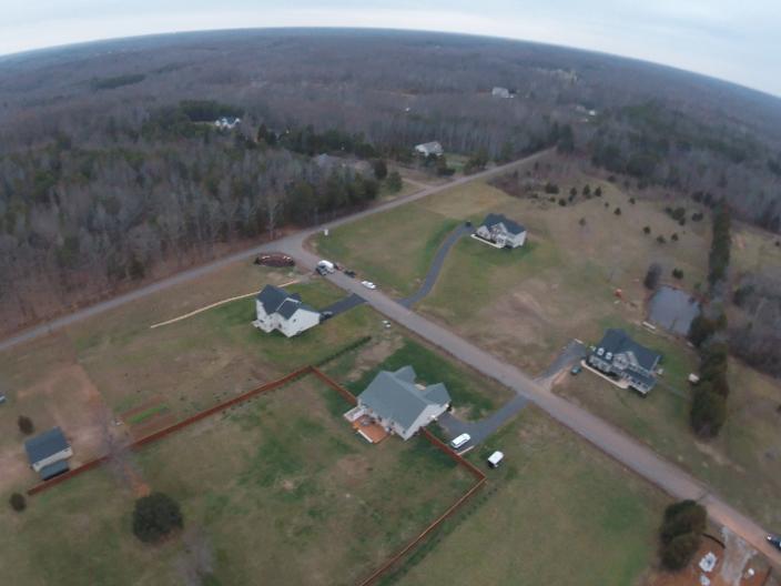
Real Estate
Capture the unique selling points of your listings that are sure to impress your clients. Distinctive photography and engaging videography have proven time and again to increase sales. Have a listing that includes a large tract of land? We can showcase the entire property with out getting your shoes dirty!
-

Familiarize
Get to know drones; their uses, safety, and regulations. Now you and your company will know what to look for and what questions to ask when leveraging this booming industry to increase safety, productivity, and profit.
-
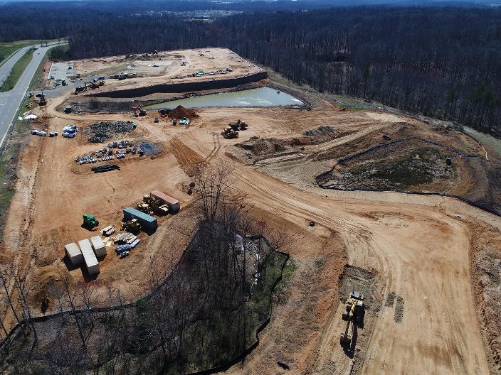
Site Documentation
We offer simplified means to track and document the progress of construction. A simple site fly-over can be a great, economic way to watch your site develop.
-
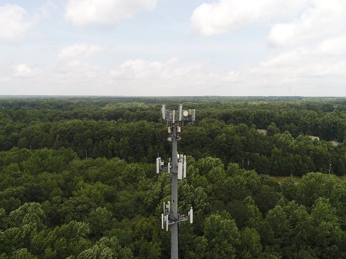
Tower Inspection
We are able to bring you high quality images aerial infrastructure in a completely safe manner. No longer does there have to be a risk to personel climbing towers for an inspection.