Welcome to Apex Exploration!
Here at Apex Exploration we are on the cutting edge of drone photography and videography. We are a flourishing, young company dedicated to bringing our customers the highest quality data and images. Whether you are looking to showcase an exceptional real estate listing; inspect crops, livestock, fencing, or infrastructure; keep up with construction site progress; or regular checks on pipelines, power lines or structures in inaccessible areas we have the solution for you.
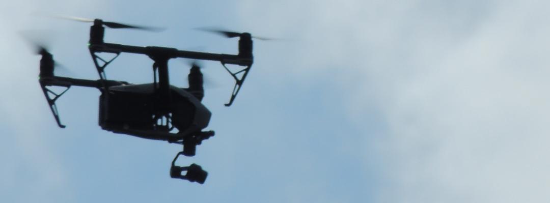
We use only high quality aircraft designed specifically for durability, range, and large payload. Pilots are 107b certified and are fully insured. We go to great lengths to make sure all operations are completed with the highest degree of safety and integrity.
Is your company looking to implement drones into your operation? Here is the seminar for you! This hands-on tutorial will build your understanding of drone operations and safety as well as the intricacies of the new FAA 14 CFR 107 regulations.
My Portfolio
Here are some examples of my work:
https://drive.google.com/drive/folders/0B-kT__Dt5dhxa0RzWjA2eUxxUTg?usp=sharing
We strive to continually improve our performance and creativity.
Services
Mapping/Site Inspection

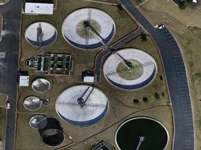
Leveraging the computing power of DroneDeploy we are able to offer a full range photogrammetery and orthomosaic services. We are able to provide site documentation, elevation data, 3D modeling, and even crop health data.
Real Estate

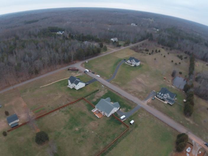
Capture the unique selling points of your listings that are sure to impress your clients. Distinctive photography and engaging videography have proven time and again to increase sales. Have a listing that includes a large tract of land? We can showcase the entire property with out getting your shoes dirty!
Familiarize

Get to know drones; their uses, safety, and regulations. Now you and your company will know what to look for and what questions to ask when leveraging this booming industry to increase safety, productivity, and profit.